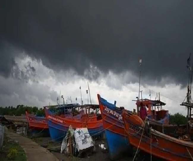
The Odisha government has issued an alert in all the districts after the cyclonic storm Jawad is likely to reach the state on December 4. The India Meteorological Department (IMD) has predicted the formation of a low-pressure area over the South Andaman Sea and the intensification of it into a cyclone in the next 48 hours. According to IMD, the cyclonic storm is likely to hit the Odisha coast on December 4. Meanwhile, a red alert has been issued in some districts of Odisha amid the forecast of the cyclone. The state has also prepared a disaster management strategy by calling in personnel from NDRF, ODRAF, and fire brigade for rescue and relief operations.
The IMD has also issued a red, orange, and yellow alert in some districts, predicting 'heavy' to 'very heavy' rains in the next few days. The Meteorological Office said that the low-pressure area formed over South Andaman Sea and the adjoining area will intensify into a cyclonic storm around December 3. The system will move northwestwards and reach north Andhra Pradesh-Odisha coast around December 4.
Because of the cyclonic storm that hit the Odisha coast on December 4, IMD has issued a red alert for Gajapati, Ganjam, Puri, and Jagatsinghpur districts.
There will be heavy rain in the Gujarat region! Scattered rain and thundershowers will occur in Uttar Pradesh, Haryana, Delhi
Another rain system is seen to affect the west coast of India. According to the latest forecast, a cyclonic circulation over west Maharashtra is likely to bring locally heavy rainfall of 50 mm over Gujarat and Maharashtra coast on Thursday.
Meanwhile, over North India, a fresh Western Disturbance is likely to bring rain or snow to parts of Himachal Pradesh and Uttarakhand on Thursday. From the end of this week of the next WD till the beginning of next week, these areas are likely to be affected.
The maximum temperatures are likely to remain well below normal over Gujarat, West Madhya Pradesh, and adjoining areas on Thursday. Meanwhile, the readings will become much higher than normal over the Western Himalayan region and Northeast India for several days.
Now know in point, the forecast of the coming weather.
There is a possibility of heavy rain in the Andaman and Nicobar Islands and parts of the Gujarat region today.
There is a possibility of heavy rain or snow with thunderstorms in Uttarakhand and Himachal Pradesh.
Widespread rain and thundershowers are likely over East Rajasthan, Kerala, Mahe, and Lakshadweep.
- Scattered rain and thundershowers are possible over West Madhya Pradesh, Gujarat region, Konkan, Goa, Madhya Maharashtra, Marathwada, and Karnataka.
- Scattered rain and thundershowers over Odisha, Uttar Pradesh, Haryana, Chandigarh, Delhi, Punjab, Jammu & Kashmir, Ladakh, West Rajasthan, East Madhya Pradesh, Saurashtra, Kutch, Vidarbha, Andhra Pradesh, Telangana, Tamil Nadu, Puducherry, and Karaikal Chances are.


Kapil Sharma's Kap's Cafe was attacked by unknown assailants on Wednesday night. In the video goi
The impact of the Bharat Bandh, called by trade unions and farmers' organizations, is being seen
'I worked for 70 hours, but I cannot force anyone to do so', Narayan Murthy's new statement.
Infosys co-founder NRN Narayana Murthy has said that no one can be forced to work for long hours.
The account information of more than 28 crore account holders of Provident Fund (PF) has been lea
Celebrations have started once again at Mukesh Ambani and Nita Ambani's house. Soon the
Controversial reality show Bigg Boss Season 19 is attracting everyone's attention at this time. T
Khushboo Pandey, a resident of Malaypur, who calls herself a Hindu lioness, finally got caught in
BJP MP and film actress Kangana Ranaut has expressed deep anger over the recently surfaced Raja R
Dance has always been a special part of Indian cinema. So far, many such films have been released
Kho Gaye Hum Kahan Trailer Launch: After the success of 'Dream Girl 2', Ananya Pandey is ready to